Eastern Mojave Vegetation
Tom Schweich
|
Eastern Mojave Vegetation
| Coast Trail, Point Reyes National Seashore, California |
|
Tom Schweich |

|
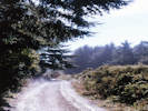
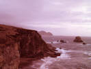
Along the coast in the southern part of the park. | ||||
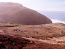
Point Reyes Youth Hostel | |||||
Coast Camp | |||||
|
Other articles:
|
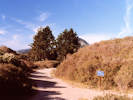
Junction: Bear Valley Trail | ||||
|
Other articles:
Locations:
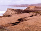
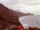
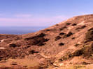
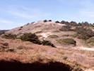
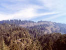
Millers Point.
|
Millers Point
| ||||
|
Other articles:
Locations:
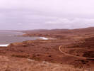
Wildcat Beach.
Wildcat Camp.
|
Wildcat Camp
| ||||
|
Junction: Ocean Lake Loop | |||||
|
Junction: Ocean Lake Loop | |||||
|
Other articles:
Locations:
Alamere Creek.
|
Cross Alamere Creek | ||||
|
Other articles:
Locations:
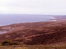
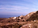
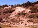
Double Point.
|
North Double Point | ||||
|
Other articles:
Locations:
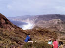
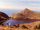
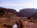
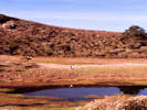
Pelican Lake.
|
Pelican Lake
| ||||
|
Other articles:
Locations:
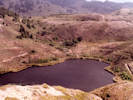
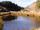
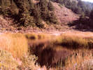
Crystal Lake.
|
Crystal Lake
| ||||
|
Other articles:
Locations:
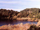
Bass Lake.
|
Bass Lake | ||||
|
Other articles:
Locations:
Lake Ranch.
|
Lake Ranch
| ||||
|
Junction: Lake Ranch Trail | |||||
|
Other articles:
|
Palomarin TrailheadJunction: Mesa Road | ||||
| If you have a question or a comment you may write to me at: tas4@schweich.com I sometimes post interesting questions in my FAQ, but I never disclose your full name or address. |
Date and time this article was prepared: 5/10/2024 10:59:20 AM |