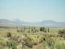
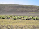
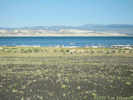
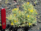
Eastern Mojave Vegetation
Tom Schweich
|
Eastern Mojave Vegetation
| Forest Road 02N42 “Black Point Rd.” , Mono County, California |
|
Tom Schweich |
|
From Cemetery Road, along the north side of Black Point, then turning south to Canoe Launch. | |||
|
Other articles:
|
Junction: Cemetery Road (FR 02N40) | |||
| West end of FR 02N42 “Black Point Rd”. | ||||
| Junction: Forest Road 02N21 “Black Point Hill” | ||||
|
Other articles:
|
Junction: Forest Road 02N20 “DeChambeau Q-005&,rdquo; to DeChambeau Ranch. | |||
| DeChambeau Ranch to the west. | ||||
|
Other articles:
|
Junction: Forest Road 02N19, north past DeChambeau Ponds, coming out near Cemetery Road. | |||
|
Other articles:
Locations: MBRG P-4. |
About 1/4 mi west is the approximate location of Mono Basin Research Group Site P-4. | |||
| If you have a question or a comment you may write to me at: tomas@schweich.com I sometimes post interesting questions in my FAQ, but I never disclose your full name or address. |
Date and time this article was prepared: 10/2/2026 12:35:45 PM |