Eastern Mojave Vegetation
|
Eastern Mojave Vegetation
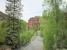
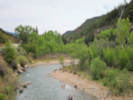
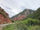
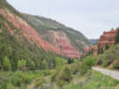
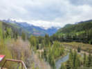
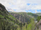
| San Miguel River, San Miguel County, Colorado. |
|
Gazetteer Query: G.N.I.S. |
||
|
The San Miguel River is a tributary of the Dolores River, approximately 81 miles (130 km) long,[2] in southwestern Colorado in the United States. It rises in the San Juan Mountains southeast of Telluride and flows northwest, along the southern slope of the Uncompahgre Plateau, past the towns of Placerville and Nucla and joins the Dolores in western Montrose County approximately 15 miles (24 km) east of the state line with Utah.
Articles that refer to this location:
| ||
| No collections made at this location. | ||
| If you have a question or a comment you may write to me at: tomas@schweich.com I sometimes post interesting questions in my FAQ, but I never disclose your full name or address. |
A, B, C,
D, E, F,
G, H, I,
J, K, L,
M, Date and time this article was prepared:12:56:53 PM, 10/2/2026. | |