 Eastern Mojave Vegetation
 Eastern Mojave Vegetation
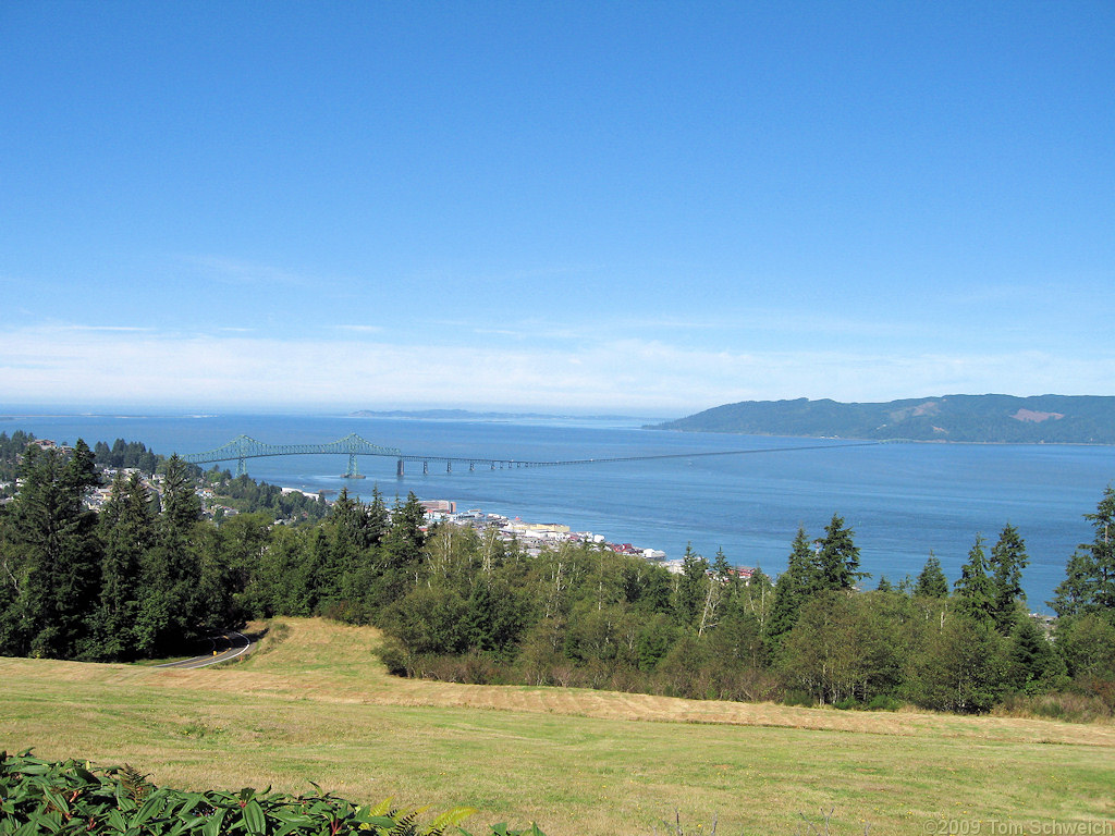
| Astoria-Megler Bridge across Columbia River at Astoria, Oregon. |
|
|

If you have a question or a comment about this photograph you may write to me at: tomas@schweich.com I sometimes post interesting questions in my FAQ, but I never disclose your full name or address. |

Photograph taken 18 Sept 2009. The Astoria-Megler Bridge, which was formally dedicated August 27, 1966, stretches 4.1 miles from Astoria, Oregon, across the mouth of the Columbia River, to Point Ellice, Washington. Construction work began on November 5, 1962. The bridge’s main span is 1,232 feet in length, the longest “continuous truss” in the world. The Astoria approach utilizes pre-stressed concrete beam spans, set on concrete piers, located to avoid overloading the slide-prone Astoria hills. The approach ramp curves counter-clockwise through a full 360 degrees, climbing almost 200 feet above mean low water. The bridge is designed to withstand some of the toughest attacks of nature, wind gusts of 150 miles per hour from the fierce Pacific storms that occasionally batter the coast still leave the bridge with a safety factor. The concrete piers are built with an eye toward the river flood speed of nine miles per hour when whole trees sometime are swept along by the raging water. From 1921 until the bridge was built, a scheduled ferry ran between Astoria and Megler on the Washington side.
Article records that use this photograph:
Other photos about Geography - Oregon or Clatsop County, Astoria.
|
|
Date and time this page was prepared: 4/21/2025 8:34:01 PM |