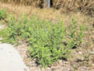
Eastern Mojave Vegetation
Edited by Tom Schweich
|
Eastern Mojave Vegetation
| South Dakota Highway 240 |
|
Edited by Tom Schweich |

|
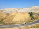
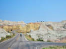
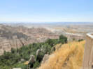
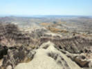
South Dakota Highway 240 (SD 240), also signed as the Badlands Loop, is a 40.033-mile-long (64.427 km) state highway in southeastern Pennington and northwestern Jackson counties in South Dakota, United States, that travels through the eastern portion of Badlands National Park. | ||||||||||||||||||||
|
Other articles:
|
Junction: US Interstate 90, at its Exit 131 | ||||||||||||||||||||
|
Other articles:
|
Prairie Homestead
| ||||||||||||||||||||
|
Badlands National Park below … | |||||||||||||||||||||
|
Locations: Badlands National Park. |
Northeast Entrance | ||||||||||||||||||||
Big Badlands Overlook | |||||||||||||||||||||
|
Other articles:
|
Ben Reifel Visitor Center
| ||||||||||||||||||||
|
Junction: South Dakota Highway 377, to South Dakota Highway 44. | |||||||||||||||||||||
Fossil Exhibit Trail | |||||||||||||||||||||
White River Valley Overlook | |||||||||||||||||||||
Big Foot Pass Overlook… and picnic area. | |||||||||||||||||||||
|
Other articles:
|
Panorama Point
| ||||||||||||||||||||
Prairie Wind Overlook | |||||||||||||||||||||
Burns Basin Overlook | |||||||||||||||||||||
Homestead Overlook | |||||||||||||||||||||
Conata Basin Overlook | |||||||||||||||||||||
|
Other articles:
|
Yellow Mounds Overlook
| ||||||||||||||||||||
|
Other articles:
|
Junction: Pennington County Road 509 “Conata Road”
Other articles:
Junction: Sage Creek Rim Road.
Other articles:
Locations:
Badlands National Park.
Badlands National Park above … Junction: Sage Creek Road
Other articles:
Junction: US Interstate 90, at its Exit 110
Date and time this article was prepared:
10/2/2026 12:53:07 PM
|