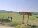
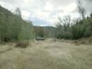
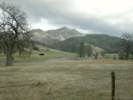
Approximate location of Flook Ranch, where trenching has exposed microstructures developed by coseismic and aseismic faulting in near-surface sediments.
Other articles: • Field Notes:
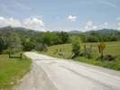
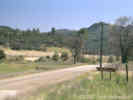
17-Apr-05 at Coalinga Rd; Coalinga Road looking east from Old Hernandez Road.
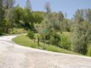
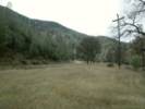
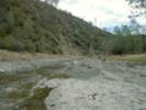
Locations: San Benito River.
View northeast in the upper reaches of the San Benito River.
Other articles: • Field Notes:
20060204200; Plaque about Benitoite.
Benitoite was discovered on February 22, 1907 by James Marshall Couch while prospecting for quicksilver on a fifty dollar grubstake for shares from R. W. Dallas and Tom Sanders. On July 30, 1907, mineralogy professor George D. Louderback identified it as a new mineral species, Barium Titanium Silicate (BaTiSi3O9). He named it Benitoite after the river, county and nearby mountain range. The gem-quality crystal combines the color of a sapphire with the fire of a diamond. It looks like two studdy triangular pyramids attached at their bases; its shape is unique. It flouresces a bright deep-sky blue under ultraviolet light. Benitoite in gem quality occurs nowhere else in the world. It is assopciated with other rare minerals such as Fresnoite, Joaquinite, Natrolite, and Neptunite. They formed in fractures of a serpentine rock from hydrothermal solutions. Just how such solutions occurred and what other conditions caused the crystallization of these rare minerals is still not well understood. Benitoite was declared the official California state gem on October 1, 1985.
Dedicated October 27, 2001. Monterey Viejo Chapter 1846 and James Savage Chapter 1852. E Clampus Vitus.
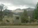
Coalinga Road becomes Los Gatos Road at the Fresno County Line
If you have a question or a comment you may write to me at:
tomas@schweich.com
I sometimes post interesting questions in my FAQ, but I never disclose your full name or address.
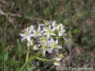
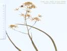
 Eastern Mojave Vegetation

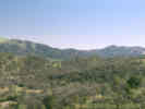
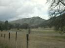
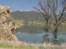 Hernandez Reservoir on Coalinga Road