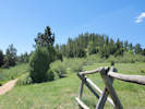
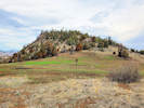
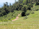
Eastern Mojave Vegetation
Tom Schweich
|
Eastern Mojave Vegetation
| Dakota RidgeTrail, Jefferson County Open Space, Colorado |
|
Tom Schweich |
|
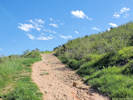
North and south along the spine of Dakota Ridge. | ||||
|
Other articles:
|
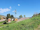
Trailhead: Stegosaurus Lot | ||||
|
Other articles:
|
From the trailhead in Stegosaurus Lot, the Dakota Ridge trail goes northeast straight up the western limb of the hogback.
| ||||
|
Trail turns south. | |||||
|
Other articles:
|
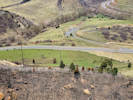
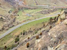
View of Interstate 70 at the mouth of Mount Vernon Canyon. The third road at right is US Highway 40. The parking lot for Matthews/Winters Park is at lower left. The highway is really noisy, especially the trucks using their Jake Brakes.
| ||||
|
Other articles:
|
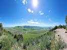
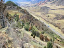
Viewpoint of Rooney Valley and Green Mountain. This valley is threatened by development.
| ||||
|
Other articles:
|
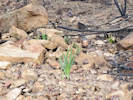
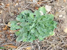
This is where I found just two Physaria. They were P. montana.
| ||||
|
Other articles:
|
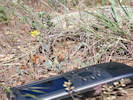
Rattlesnake along the trail
| ||||
|
Other articles:
|
The Dakota Ridge trail comes off the ridge and down into this little “meadow.” It is not clear whether this meadow is natural or an atrefact of previous mining.
| ||||
|
Literature Cited:
Other articles:
|
Junction: Zorro Trail. The Zorro Trail goes down to a parking lot along Rooney Road.
| ||||
|
Other articles:
|
The Dakota Ridge Trail continues south.
| ||||
|
Other articles:
|
The thing to see here is the two women and their unleashed dogs. I had previously talked to them and asked them to leash their dogs. Four minutes before I took this photo (by the timestamps on the photo), I took the photo of the rattlesnake beside the trail.
| ||||
|
Other articles:
|
Junction: Alameda Avenue | ||||
|
Other articles:
|
Junction: Alameda Avenue | ||||
|
Junction: Red Rocks Trail | |||||
|
Junction: Bail Out | |||||
|
Junction: Dakota Ridge South Trail | |||||
|
End of Trail in a loop. | |||||
| If you have a question or a comment you may write to me at: tomas@schweich.com I sometimes post interesting questions in my FAQ, but I never disclose your full name or address. |
Date and time this article was prepared: 10/2/2026 12:38:44 PM |