Eastern Mojave Vegetation
Tom Schweich
|
Eastern Mojave Vegetation
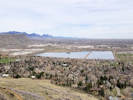
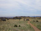
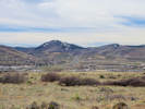
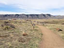
| Basalt Cap Loop, South Table Mountain Park, Jefferson County, Colorado |
|
Tom Schweich |

|
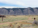
A loop trail on top of the eastern portion of the mesa. | |||
|
Other articles:
|
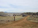
Junction: Ancient Palms Trail
| |||
|
Other articles:
|
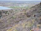
Viewpoint north.
| |||
|
Social trail down to Ancient Palms Trail. | ||||
|
Other articles:
|
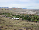
Overlook to the north.
| |||
|
Overlook | ||||
|
Other articles:
|
| |||
|
Other articles:
|
Junction: Tertiary Trail, off the mesa to the south. | |||
|
Cut-off to Tertiary Trail | ||||
|
Cut-off to Cretaceous Trail | ||||
|
Other articles:
|
Junction: Cretaceous Trail, south off the edge of the mesa.
| |||
|
Cut-off to Old Quarry Trail | ||||
|
Other articles:
|
Junction: Old Quarry Trail | |||
|
Other articles:
|
Junction: Ancient Palms Trail | |||
| If you have a question or a comment you may write to me at: tomas@schweich.com I sometimes post interesting questions in my FAQ, but I never disclose your full name or address. |
Date and time this article was prepared: 10/2/2026 12:40:40 PM |