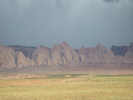
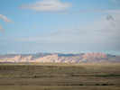
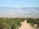
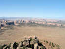
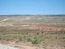
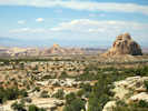
Eastern Mojave Vegetation San Rafael Swell, Emery County, Utah.
 
Gazetteer

Query: G.N.I.S.

See also: Black Dragon Wash. Eagle Canyon. The Squeeze. Summerville Point.

Mountain range in central Utah resulting from up-warping of sedimentary strata.

Articles that refer to this location:


Literature Referring To This Location:

  • Bureau of Land Management. 2006. San Rafael Motorized Route Designations. Price, Utah 84501: Bureau of Land Management, March 2006. {TAS}
  • Rigby, J. Keith. 1987. Stratigraphy and structure of the San Rafael Reef, Utah; A major monocline of the Colorado Plateau. Geological Society of America Centennial Field Guide -- Rocky Mountain Section.

Full Size Image
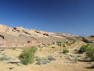
Tilted sediments at southeastern edge of San Rafael Swell
Full Size Image
San Rafael Swell, southeast edge, in the morning sun.
Full Size Image
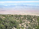
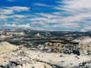
View west off of Cedar Mountain.
Full Size Image
View to south of San Rafael Swell from Cedar Mountain Overlook
Full Size Image
View east on Moore Cut Off Road.
Full Size Image
View west on Moore Cut Off Road.
Full Size Image
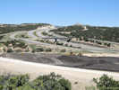
US Interstate 70 at Exit 116, the "Moore Cut Off Road"
Full Size Image
US Interstate 70 on San Rafael Swell east of Ghost Rock Rest Stop
Full Size Image
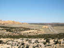
View north from Ghost Rock Rest Stop
Full Size Image
Eastern edge of San Rafael Swell.
Full Size Image
San Rafael Swell.

No collections made at this location.
If you have a question or a comment you may write to me at: tomas@schweich.com I sometimes post interesting questions in my FAQ, but I never disclose your full name or address.  


A, B, C, D, E, F, G, H, I, J, K, L, M,
N, O, P, Q, R, S, T, U, V, W, X, Y, Z


[Home Page] [Site Map]

Date and time this article was prepared:5:21:12 PM, 4/24/2026.